Skip to content
+
Home
Cours
A propos
Blog
Contact
Connexion
(0)
Getting Started
Release Date (newest first)
Release Date (oldest first)
Course Title (a-z)
Course Title (z-a)
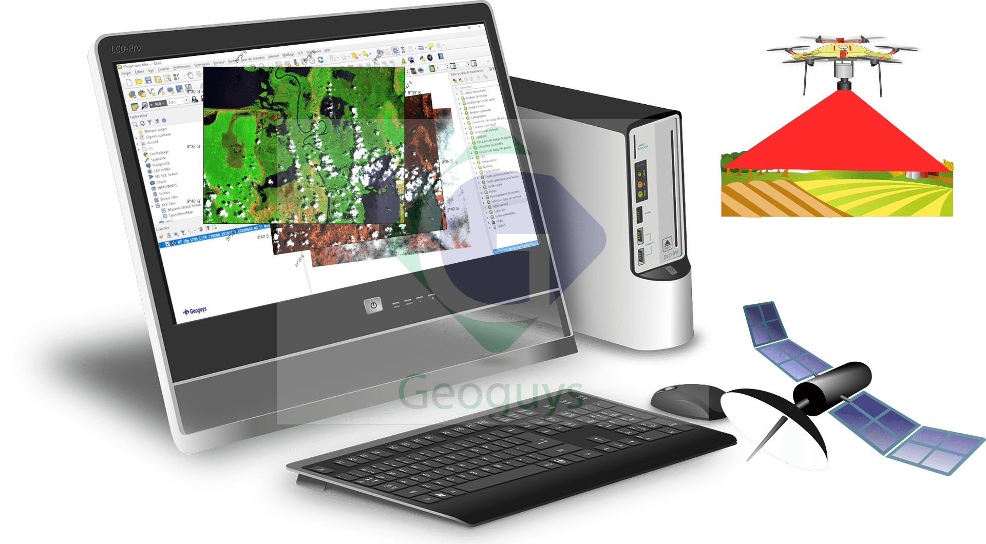
QGIS & SNAP11 : EXPLOITEZ LA TÉLÉDÉTECTION POUR RÉVOLUTIONNER L’EXPLORATION MINIÈRE
12
06h
By
Guylain Katombe
In
Qgis
5.00
(1)
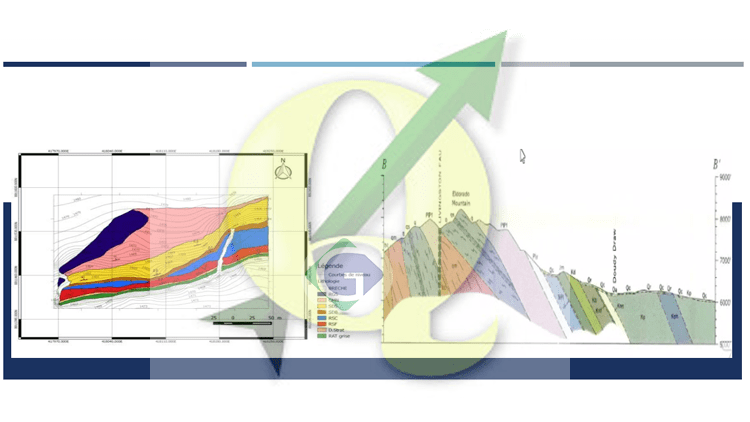
Qgis : comment élaborer une coupe et créer une carte géologique professionnelle
13
02h 30m
By
Guylain Katombe
In
Cartographie numérique
,
Logiciels SIG
,
Qgis
5.00
(2)
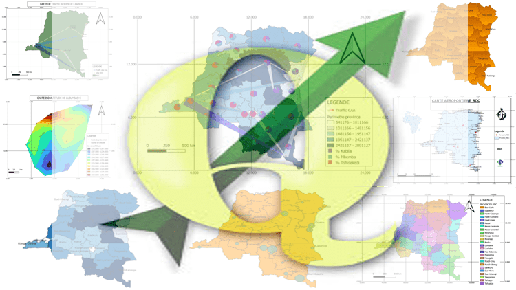
Comment créer divers cartes thématiques pro avec Qgis?
32
02h 30m
By
Guylain Katombe
In
Cartographie numérique
,
Logiciels SIG
,
Qgis
5.00
(1)
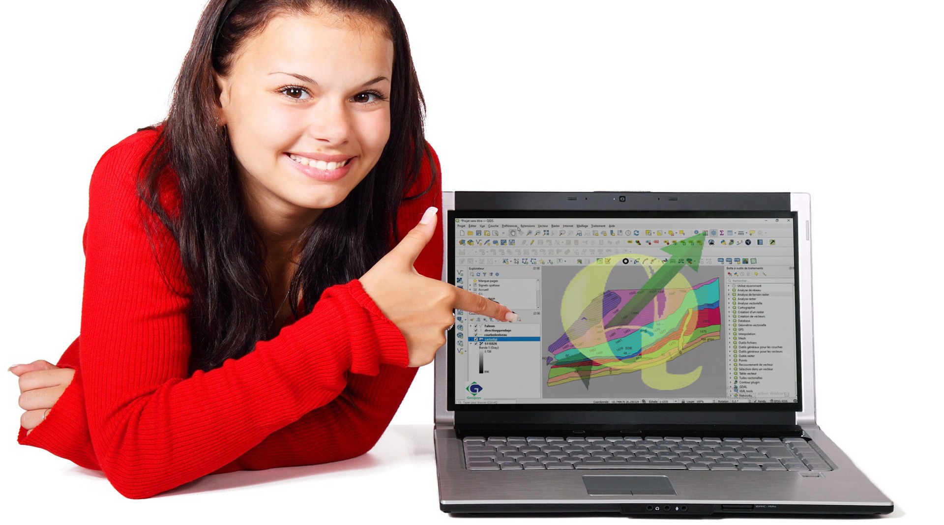
Qgis 3.X: Maitriser la cartographie numérique
18
06h 15m
By
Guylain Katombe
In
Cartographie numérique
,
Logiciels SIG
,
Qgis
Hi, Welcome back!
Keep me signed in
Forgot?
Sign In
Don't have an account?
Register Now
Geoguys
N°94, Avenu Kasaï, Lubumbashi, RDC
Mail:
[email protected]
Tél(WhatsApp):+243893063371
Liens rapide
Blog
A propos
Ressources
Support